MeteoData · worldwide coverage

Meteorological data, ready for your dispersion model.

We run WRF for your location and period, then process the output into validated files for CALMET, CALPUFF, AERMET, or AERMOD.

Worldwideany project location
Customperiod and resolution
Readymodel-specific outputs
Processing chain Quality checked
01WRFNumerical weather simulation
02CALWRF · MMIFModel-specific processing
03Ready filesDelivered with checks and supporting plots
CALMETCALPUFFAERMETAERMOD
WRF-basedsite-representative meteorology
Flexible domainsresolution matched to the application
Local dataintegration available when appropriate
Technical supportfrom atmospheric-modeling specialists

Data products

Choose the processing level your model needs.

Each product is prepared for a specific modeling workflow. Open the technical details to see the exact files included.

CALMET & CALPUFFThree-dimensional meteorology and puff dispersion
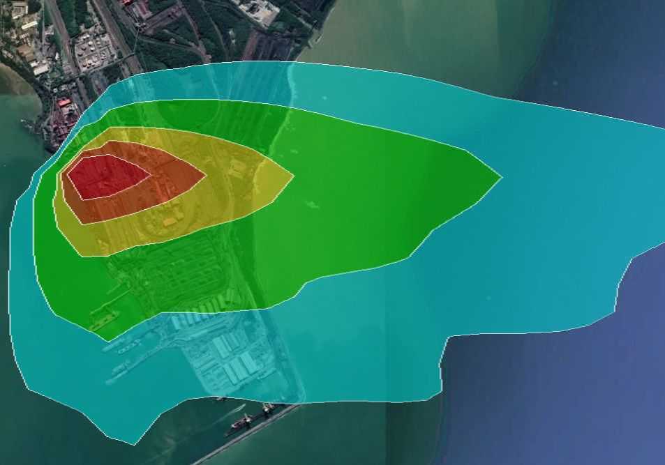
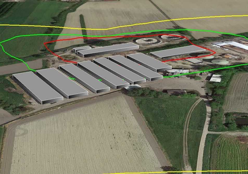
Meteorological analysis representing MMIF CALPUFF-ready dataCALPUFF input

WRF → MMIF

CALPUFF-Ready via MMIF

Monthly meteorological files generated with MMIF and prepared for direct use in CALPUFF.

Starting from€630single year
Technical deliverables +
  • One set of MMIF output files for each month.
  • Example calpuff.inp for testing and adaptation.
  • Wind rose from a representative point near the domain center.
  • Prepared for CALPUFF versions 5.8.4 and later.
Request this dataset →
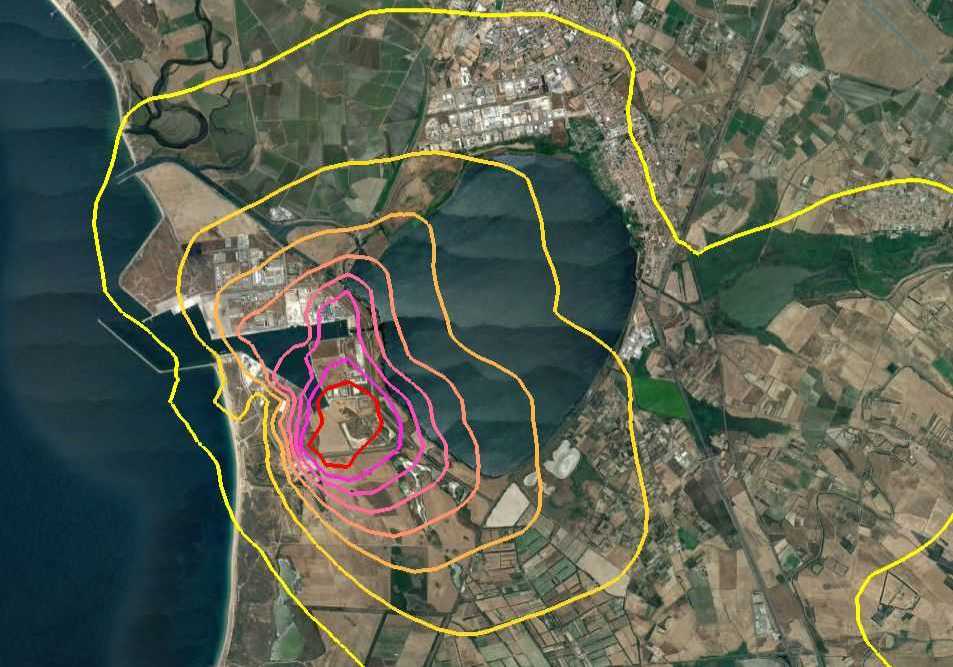
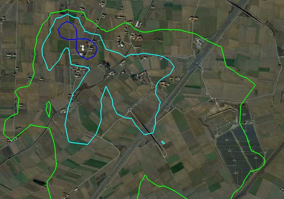
Terrain and atmospheric data representing CALMET 5.8.5 outputCALPUFF 5.8

WRF → CALMET 5.8.5

CALPUFF-Ready for 5.8.x

Full CALMET output generated for projects that require CALPUFF 5.8-series meteorological input.

Starting from€1,200single year
Technical deliverables +
  • One CALMET output file for each month.
  • Example calpuff.inp ready to customize.
  • Wind rose from a representative point near the domain center.
  • Generated using CALMET 5.8.5.
Request this dataset →
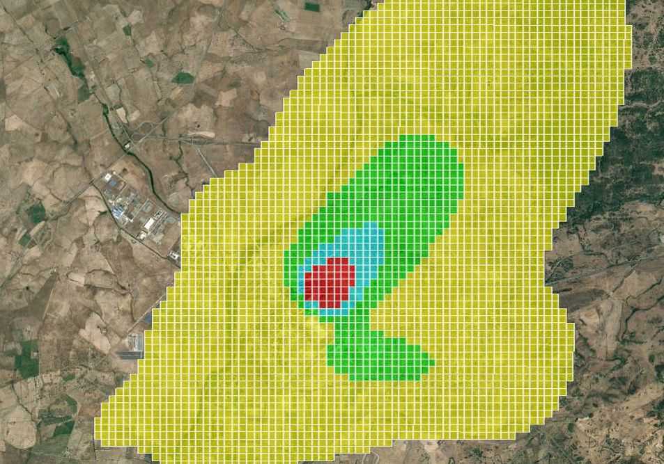
Gridded atmospheric field representing CALMET 6.5 outputCALPUFF 7

WRF → CALMET 6.5

CALPUFF-Ready for 7.x

Full CALMET 6.5 output prepared as meteorological input for CALPUFF version 7 projects.

Starting from€1,200single year
Technical deliverables +
  • One CALMET output file for each month.
  • Example calpuff.inp ready to customize.
  • Wind rose from a representative point near the domain center.
  • Generated using CALMET 6.5 for CALPUFF 7.
Request this dataset →
AERMET & AERMODSurface and upper-air files for regulatory modeling
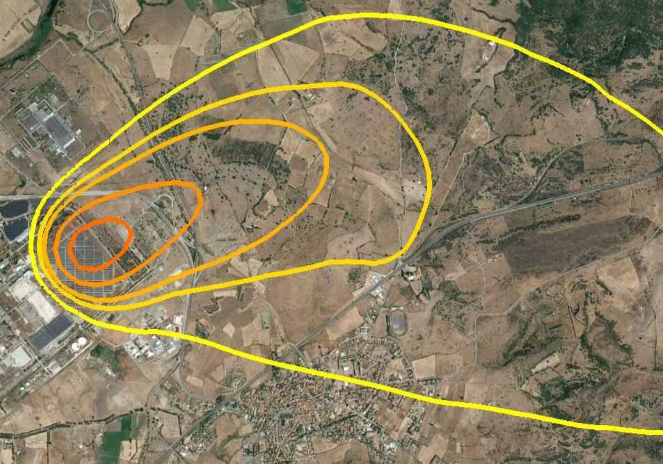
Wind field representing AERMET-ready meteorological dataAERMET input

WRF → MMIF

AERMET-Ready

Onsite and upper-air meteorological data with the input files needed to run AERMET.

Starting from€250single year
Technical deliverables +
  • Annual onsite meteorological data file.
  • Annual upper-air data file in FSL format.
  • Three AERMET input files.
  • Wind rose generated from the onsite data.
Request this dataset →
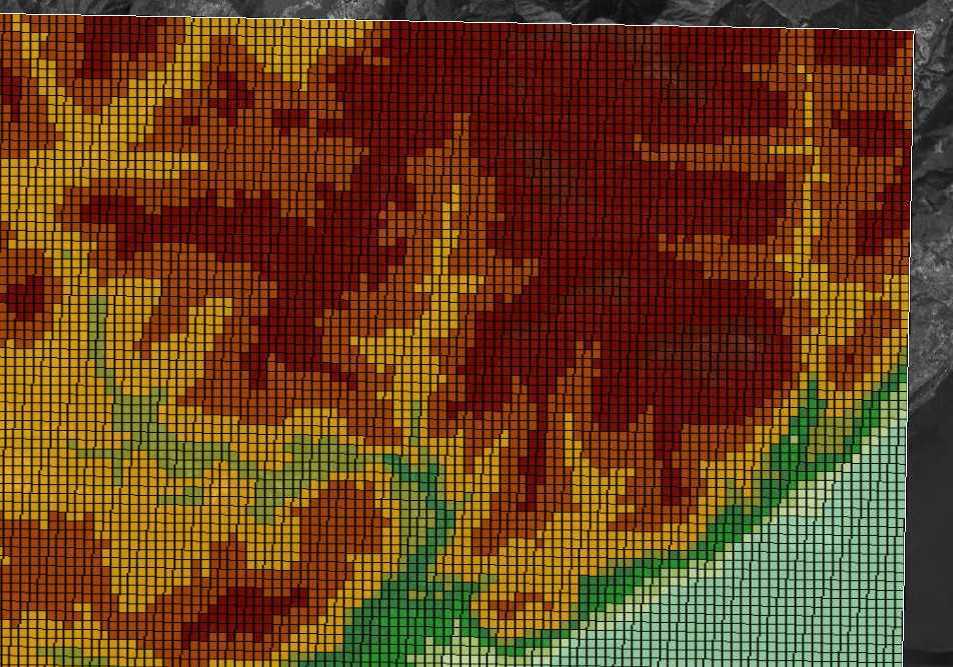
Terrain and land-use map representing GEO.DAT for CALMETGeophysical data

Terrain · land use

GEO.DAT for CALMET

CALMET geophysical input assembled from the best available terrain and land-use sources for your domain.

Starting from€300per domain
Technical deliverables +
  • GEO.DAT using standard CALMET land-use classes.
  • Raster plot of terrain elevation.
  • Raster plot of land use.
Request this dataset →

Starting prices are indicative and exclude applicable taxes. Final pricing depends on product, domain, resolution, period, and any custom processing. Discounts are available for additional years.

Product selection

Not sure which files to request?

Start from the model you intend to run and how much preprocessing you want to perform yourself.

Describe your project →
Target workflowRecommended productWhat you receive
Run CALMET yourselfCALMET-ReadyMonthly 3d.dat
Run CALPUFF directly with MMIF dataCALPUFF-Ready via MMIFMonthly MMIF outputs
Run CALPUFF with full 3D CALMET fieldsCALPUFF-Ready via CALMETMonthly CALMET outputs
Run AERMET yourselfAERMET-ReadyOnsite, FSL, and control files
Run AERMOD directlyAERMOD-Ready.sfc and .pfl
Build a CALMET geophysical domainGEO.DATTerrain and land-use input

From request to delivery

A technical workflow, kept straightforward.

  1. 01

    Define the application

    Tell us the target model, location, period, domain size, grid resolution, and any local observations.

  2. 02

    Confirm the specification

    We review feasibility, recommend the appropriate product, and send a project-specific quotation.

  3. 03

    Run and process

    We configure WRF and the required postprocessors, then perform technical checks on the outputs.

  4. 04

    Deliver and support

    You receive the files, supporting plots, and guidance needed to integrate them into your workflow.

Practical information

Before you request a quote.

Every domain is different. These answers cover the most common planning questions.

What information should I provide?+

The target product or model, domain-center coordinates, domain size, preferred grid resolution, initial and final year, and any special requirements.

How long does delivery take?+

Standard datasets are usually delivered within five working days after order confirmation. Large domains, multiple years, very high resolutions, or custom processing may require more time.

Is high resolution available everywhere?+

Grid spacing of 500 m or less depends on location, domain size, terrain, available geophysical data, and computational feasibility. We assess this during quotation.

Can local observations be included?+

Yes, when suitable observations and metadata are available. We can evaluate their integration into CALMET or the broader meteorological preparation workflow.

Can I order more than one year?+

Yes. Multi-year datasets are common, and discounts are available for additional years within the same project configuration.

Project-specific quotation

Tell us where, when, and for which model.

We will confirm the appropriate processing chain, feasible resolution, delivery time, and price.

Request your dataset →