Worldwide meteorological and geophysical data for air dispersion modeling.
CALMET-Ready
We run WRF and CALWRF in order to produce 3d.dat files. What you get:
- A set of 3d.dat files (one for each month) to be used in input by CALMET (versions 5.8.4 and above).
CALPUFF-Ready (MMIF)
What you get:
- A set of MMIF output files (one for each month) to be used in input by CALPUFF (versions 5.8.4 and above).
- An example calpuff.inp file used to test the MMIF files (that you can modify for your needs).
- A wind rose obtained from data extracted from a point close to the center of domain.
CALPUFF-ready (CALMET 5.8.5)
Meteorological data ready to be used in CALPUFF, generated with WRF and CALMET 5.8.5. What you get:
- A set of CALMET output files (one for each month) to be used by CALPUFF (versions 5.8.4 and above).
- An example calpuff.inp file that the user can modify as needed.
- A wind rose obtained from data extracted from a point close to the center of domain.
CALPUFF-ready (CALMET 6.5)
Meteorological data ready to be used in CALPUFF7, generated with WRF and CALMET 6.5. What you get:
- A set of CALMET output files (one for each month) to be used by CALPUFF (version 7).
- An example calpuff.inp file that the user can modify as needed.
- A wind rose obtained from data extracted from a point close to the center of domain.
AERMET-ready
Meteorological data ready to be used in AERMET and input files to launch it. Generated with WRF and MMIF. What you get:
- For each year, a file with onsite meteorological data
- For each year, a file with upper air data in FSL format.
- The three input files needed to run AERMET.
- A wind rose obtained from the onsite data.
AERMOD-ready
Meteorological data (sfc and pfl) ready to be used in AERMOD. Generated with WRF and MMIF.. What you get:
- For each year, a file with meteorological data at surface (*.sfc)
- For each year, a file with upper air meteorological data (*.pfl).
- An example AERMOD.INP file used to test the meteorological data that you can modify as needed.
- A wind rose obtained from the onsite data.
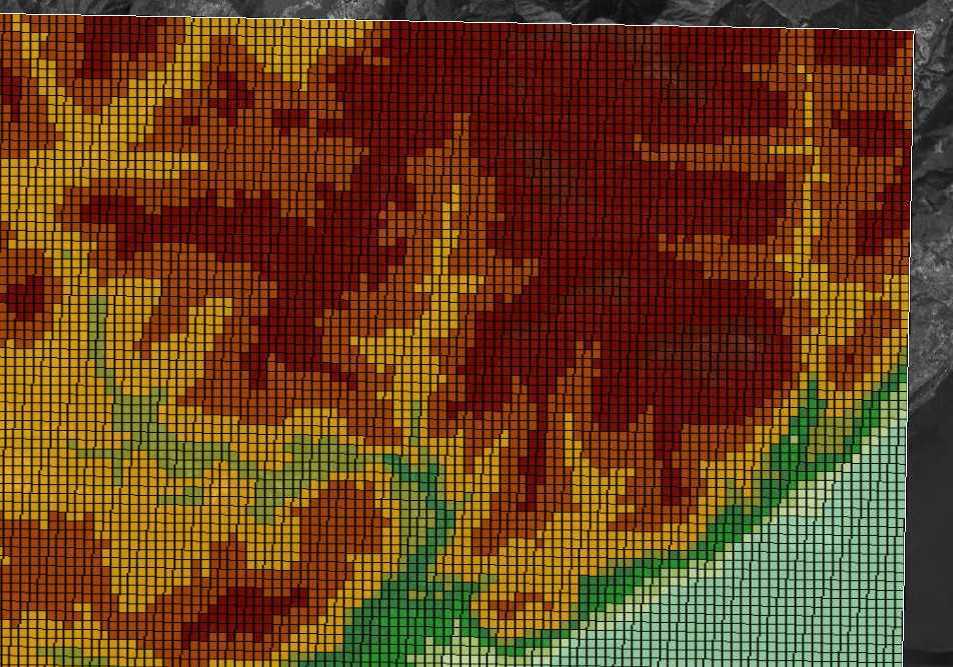
GEO-DAT for CALMET
GEO.DAT for CALMET prepared using the best available geophysical data for the location of interest. What you get:
- GEO.DAT file using the standard CALMET land use classes.
- A raster plot of terrain elevation.
- A raster plot of land use.

Useful information
- Usually we deliver the data in a maximum of five working days.
- High resolution (i.e. grid equal or less 500 m) is not available at any place in the world. Anyway you ask, and we will do our best.
- Any doubts? Contact us!