AerscreenEZ
A Windows interface for the US-EPA AERSCREEN air quality model.AerscreenEZ is a graphical user interface for the US-EPA AERSCREEN air quality model, which estimates the worst-case impact of ground level concentrations for a single source. AerscreenEZ is very simple to use and facilitates the insertion of the input variables, automatically launches all the needed programs and creates charts.
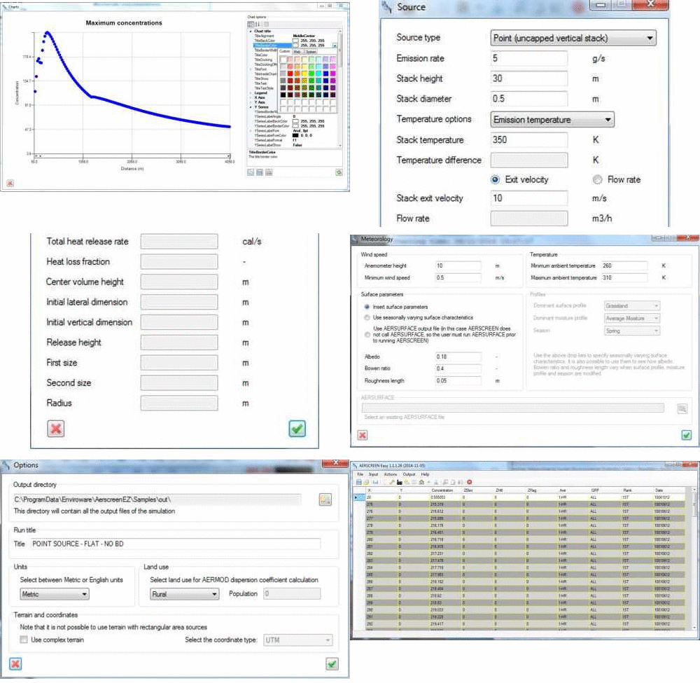
AerscreenEZ main features:
- Includes all the latest versions of the Fortran programs needed to carry out a simulation (AERMOD, MAKEMET, BPIPPRM, AERMAP)
- Simulates different types of sources: vertical stacks capped and uncapped, horizontal stacks, flares, rectangular sources, circular sources, volume sources
- Simulates inversion break-up and shoreline fumigation (for point sources)
- Option to adjust the friction velocity u* for low wind speeds
- Allows to save input data in configuration files and to reload them
- Distributed with sample configuration files
- Automatically creates customizable charts
- Allows to print, copy, and save charts in many formats
- Extensive documentation available
From this link you can download and evaluate AerscreenEZ for free for a limited number of days.
From this link you can download the AerscreenEZ user's guide.
Purchase price is Euro 239.00 or USD 299.00 for an unlimited-time license (single platform), one year of free software updates and one year of free technical support.
Yearly maintenance renewal price is Euro 39.00 or USD 49.00. It includes one year of software updates and one year of technical support. The maintenance plan is mandatory for transferring the license from a PC to another one, if needed.
Buy now on Fastspring secure site with your credit card, PayPal, money order, bank transfer by clicking the image below.

Discounts are available when purchasing more licenses at the same time.